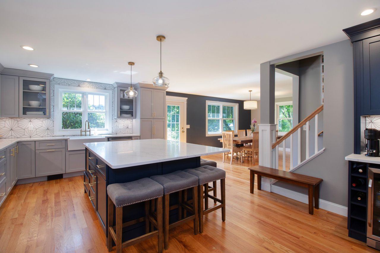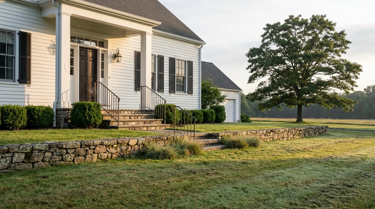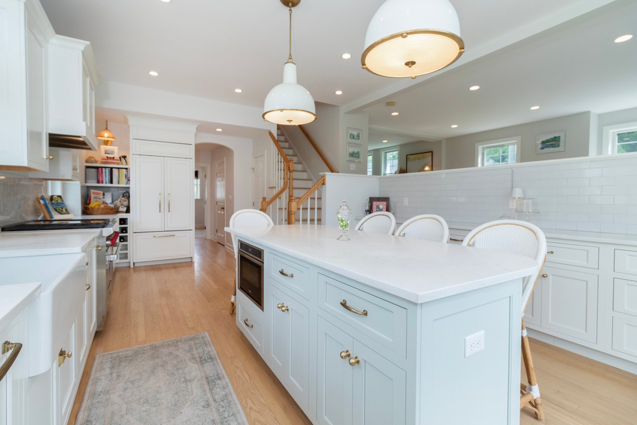
Two neighboring buyers can spend the same $465,000 in North Branford and end up in very different towns. One gets a 1980s colonial on three-quarters of an acre with a trailhead at the end of the road. The other gets a smaller Cape a short walk from the Northford Green, backing to a farm that will never be subdivided. Both bought the "median" home. Neither bought the same market.
The reason has less to do with what is listed and more to do with what cannot be. In North Branford, roughly a third of the town is owned by a water utility, and much of the rest is under active conservation pressure. That single fact rearranges everything a buyer thinks they know about supply, lot size, and where the value actually sits.
The median tells you almost nothing
Start with the portal numbers, because that is where most buyers start. As of June 2026, listing data pegged the town's median list price at about $429,000, or roughly $266 per square foot, with homes moving in a median of 13 days. Sale-price data from the same month put the median closer to $465,000, up sharply year over year. Statewide, 57.0% of Connecticut homes sold above list price in May 2026, with a 102.5% sale-to-list ratio, so the fast pace in North Branford tracks the broader shoreline pattern.
None of that explains the shape of what is actually for sale. Pull up the current inventory and it skews hard toward single-family homes on generous parcels. Condos, townhouses, and small-lot infill are comparatively rare. That is not an accident of taste. It is a consequence of who owns the ground.
One-third of the town is not on the market
Totoket Mountain contains Lake Gaillard, a reservoir formed in 1926, managed by the South Central Connecticut Regional Water Authority. The SCCRWA maintains a network of hiking trails on Totoket Mountain in the Big Gulph area of Northford, and is said to own one-third of the town's area. The SCCRWA is a public utility serving fifteen towns, and its holdings extend well beyond the reservoir shoreline. The authority acts as a steward of the environment by protecting more than 26,000 acres of watershed lands across the region.
For a buyer, the practical translation is simple. Large contiguous stretches of the town's northeast quadrant and the flanks of the Metacomet Ridge are permanently off the ledger. There is no future subdivision coming out of them. There will not be a new condo cluster on the ridge, nor a rear-lot flag lot cut behind an existing house on Totoket land. That constrains where any new supply can appear, and it pushes builders and remodelers toward the parcels that already have homes on them.
The North Branford Land Conservation Trust says this out loud. The Regional Water Authority owning approximately one-third of the land in North Branford curtails opportunities for large-scale land protection by the trust, which has instead pursued smaller strategic acquisitions like the 22-acre Harrison Farm Preserve and the 3-acre Starry Lane parcel that connects the Atwater Library to the trail network.
Fresh evidence: the Amatrudo grant
If you want proof that the constraint is still tightening, look at what happened this spring. In June 2026, state officials announced a $611,000 Open Space and Watershed Land Acquisition grant to help buy the former Amatrudo Farm on Middletown Avenue in Northford. The 25-acre parcel sits near the Farm River headwaters, adjacent to Ceccarelli Farm, which is already protected through the state's Farmland Preservation Program. The Farm River feeds into Lake Saltonstall, a public water source for the South-Central Connecticut Regional Water Authority. Once protected, the property will open public access for kayaking, hiking, birding, and fishing.
The purchaser is the Trust for Public Land, working with the local land trust. The parcel is surrounded by open space, water company lands, and Ceccarelli Farm, and contains a confluence of ecosystem types from mixed hardwood forest to riparian and grassland habitats. Town commission minutes from October show the project was already moving through local support letters last fall, with the town's own open space fund available to sweeten the deal.
For a homebuyer, the takeaway is not the ecology. It is the pattern. When a 25-acre farm parcel gets pulled out of the private market and permanently attached to a public trail, every existing house within a mile becomes slightly more scarce, slightly more amenity-adjacent, and slightly harder to replace with new construction of similar type.
Two towns wearing the same zip code
Because the protected land is not evenly distributed, the market splits cleanly along geography. Buyers who come in looking at only the town-wide median often miss this entirely.
| Sub-market | What it looks like | What draws the premium |
|---|---|---|
| Northford village and center | Walkable historic district along Route 17, older housing stock, tighter lots near the Green | Proximity to the Northford Center Historic District, St. Ambrose parish, the Atwater Library, Northford Ice Pavilion |
| Northeast quadrant: Totoket, Sea Hill, Doral Farms | Larger acreage parcels, ranches and colonials from the 1970s through 1990s, direct trail access | Backing to SCCRWA and land trust holdings; Big Gulph trailhead is a walk, not a drive |
| Southern end near Branford line | Denser subdivisions, mid-century capes and ranches, quicker commute to I-95 | Shorter drive to the shoreline, closer to Branford services |
| Twin Lakes and Ashley Park | Established mid-century neighborhoods | Cul-de-sac character, established plantings |
The town has the neighborhoods of Totoket, Wood Chase, Sea Hill, Twin Lakes, Ashley Park, and Doral Farms, and includes the village of Northford. Each of those pockets absorbs the same median differently. In Northford center, that budget buys history and walkability. In Sea Hill or near the ridge, it buys lot size and proximity to permanent open space that carries no property tax burden for the buyer but delivers the amenity anyway.
The Northford Historic District is doing quiet work on prices
The historic center matters more than most buyers realize. The Northford Center Historic District encompasses the historic village area in northern North Branford, extending along Middletown Avenue from the village center southward. The area was settled in the early 18th century and transformed into a rural industrial village in the 19th century by the locally prominent Maltby and Fowler families. The district includes many fine pre-Civil-War houses, two churches including the gothic-revival Northford Congregational Church designed by Henry Austin, and a schoolhouse. It was listed on the National Register of Historic Places in 2002.
For a buyer, the district designation does two things. It signals to appraisers that comparable pre-1900 homes have a defensible premium, and it constrains the kind of new construction that can happen along the corridor. Both effects tighten supply of village-adjacent housing without ever appearing on a listing sheet.
What this means when you write an offer
If a third of the town cannot be built on, the parcels that can be built on carry the entire burden of demand. Days on market compresses. Sale-to-list ratios climb. The median price stops being a ceiling and starts being a floor for anything with land, trail access, or a village address.
Three practical points for buyers preparing to write:
- Underwrite the land, not the house. In a market where undeveloped parcels are systematically being removed, an existing home on 1+ acres of buildable land is the scarce good. Cosmetic condition can be fixed. Lot size and adjacency cannot.
- Read the abutters. Big Gulph trail access, a neighboring farm under Farmland Preservation, or SCCRWA frontage each add durable value that will not show on a Zestimate. Ask the listing agent to identify what is on the other side of the property lines.
- Do not chase the median. A $429,000 list price in Northford village and a $429,000 list price in Doral Farms are answering different questions. Decide which question you are asking before you tour.
For sellers, the same mechanism cuts the other way. If your home sits inside one of the sub-markets that benefits from the constraint, your marketing needs to make that adjacency legible to out-of-town buyers who are staring at the town-wide median and drawing the wrong conclusion.
Short FAQ
Does the water authority land pay property taxes? Utility-owned watershed land is treated differently from private residential parcels under Connecticut law. Buyers evaluating a specific property should confirm mill rate treatment with the North Branford Assessor rather than assume the abutting acreage contributes to the town grand list the way a private parcel would.
Can I hike the water company land behind my house? Only with a permit. A permit from the Regional Water Authority is required. Big Gulph features more than six miles of trails, ranging from flat to very steep with a variety of wildlife habitats, including streams, meadows and forests. The permit is inexpensive and available directly from the RWA.
Will the Amatrudo Farm purchase actually close? The state grant was announced in June 2026, and the Trust for Public Land is the acquiring entity working with the North Branford Land Conservation Trust. Timelines on conservation acquisitions can slip, but the funding, town support letters, and adjacency to already-protected Ceccarelli Farm make this a high-probability closing rather than a speculative one.
Ready to look past the median?
North Branford rewards buyers and sellers who understand what the map is doing under the price. If you are weighing a purchase, preparing to list, or trying to decide between village and acreage, Jules G. Etes at William Pitt Sotheby's International Realty can walk your specific block, read the abutters, and price the constraint into your strategy. Request a free home valuation to start the conversation.